Phase 3: Quantitative Groundwater Modelling Risk Assessments
Hydrogeological Risk Assessment
If your conceptual site model confirms that your site presents a potential risk to water, you must carry out a hydrogeological risk assessment. Environmental regulators may require you to carry out a groundwater risk assessment when the site setting is sensitive – for example on permeable strata such as Principal or Secondary A Aquifers, within an SPZ or close to sensitive surface water bodies.
A generic quantitative risk assessment is carried out first and involves a relatively simple assessment of the impact your site may have on water quality, including groundwater.
You should carry out a detailed quantitative assessment when the site setting is sensitive – for example on permeable strata such as Principal or Secondary A Aquifers, within an SPZ or close to sensitive surface water bodies such as rivers, lakes or ponds.
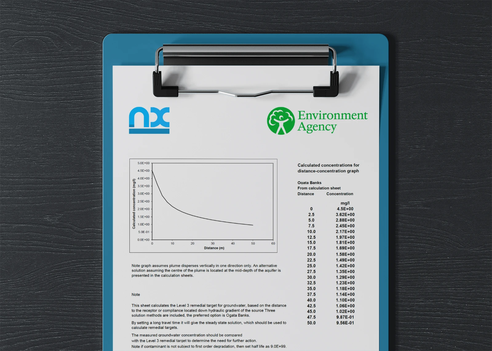
A detailed quantitative risk assessment models the contamination within soils and groundwater to impact receptors identified within the conceptual model.
For a detailed quantitative risk assessment you’ll need to provide the following:
- Hydraulic gradient in the direction of groundwater flow and whether this changes seasonally or is affected by your discharge.
- Cross flow width of your discharge – the width of the area over which your discharge occurs measured perpendicular to the direction of groundwater flow.
- Saturated thickness over which groundwater flows laterally.
- Mixing zone depth over which any pollutants from your discharge are diluted.
- Hydraulic conductivity (permeability) and effective porosity of the aquifer.
- Groundwater flow rate in the mixing zone, calculated as the product of the hydraulic gradient, cross flow width, mixing zone depth and hydraulic conductivity.
- Groundwater flow velocity for water moving from beneath your site, calculated as the product of the hydraulic gradient and hydraulic conductivity divided by the effective porosity.


